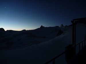
It was another early start with breakfast at around 5 am, unfortunately it was quite disappointing, there wasn’t enough Orange juice or milk, both of which were just in a carton in the middle table. There didn’t seem to be anyone around to bring out some more stuff unlike the other huts. Overall this was the worst hut for hospitality we ended up staying at, the views are great but the guardian and hosts seemed grumpy and annoyed you were in their hut. We ate the bread with jam and some cereal with a little splash of milk and got ready to head off, it was a perfect morning with a clear skies and the no wind at all.
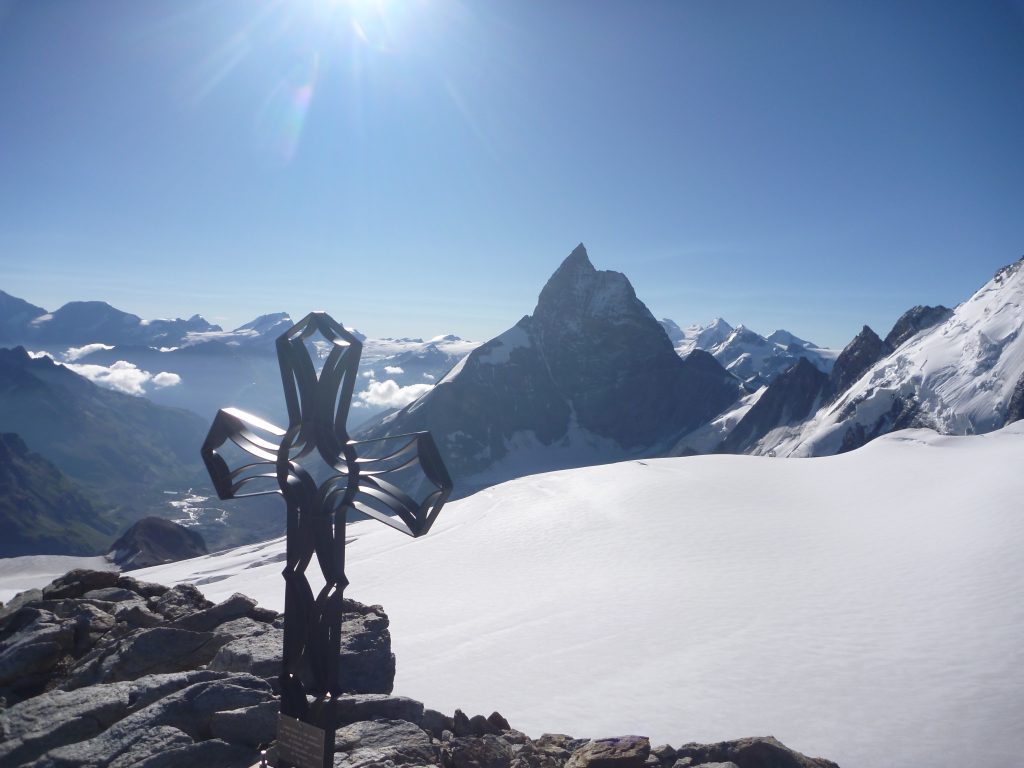
We set off down the ladders to the east side of the Col and got roped up ready for the glacier crossing. There was a clear track across the Glacier du Mont Minè south south east towards the Col des Bouquetins We then headed East up the Glacier towards Tête Blanche. As it was a clear night and morning the snow was very crisp and made for quite easy walking, crevasses were fairly easy to spot but well covered on our way up to Tête Blanche. Once on the Col de la Tête Blanche we headed up towards the summit across the bergschrund, which was a bit slushy and had a few holes (probably from the 70 Belgian Scouts the previous day). It was a short walk over the flat snow towards the summit (3707m) where we untied for summit photos and to enjoy the perfect views over the Matterhorn and surrounding ranges.
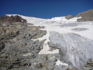
We headed back down the same we’d come to the the col and over to the Stockji Glacier which was quite heavily crevassed but it had another clear track over the ice fall with good snow bridges. We went down the steeper section at around 3200m in the centre of the glacier, which was starting to get a slushy, before heading down a final steep bit of ice at 3096m onto the Stockji rock mound. It was nice to be off the last main bit of glacier of the week and i wouldn’t wanted to have been on it much later in the day given how soft the snow had already got.
Now on the rock we could take off the crampons and rope and made a short scramble up to the ridge of Stockji, there was a fairly clear path down the other side marked with cairns. Some parts were quite lose but the walking was fairly easy compared to the last few days.
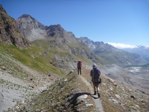
It wasn’t long before the Schönbiel Hut came into view and it looked like quite a nice easy walk to get there, how wrong we were. We headed over the moraine down the side of the Zmutt glacier to where the path split and we took the higher path, this turned out to be the wrong option as it just disappeared where the moraine had collapsed a few years back. It was a quick scramble down to the lower path and where climbed down some ropes on a small stream onto the lower part of the the moraine to a sign for the hut pointing up lower part of the Stockji glacier. There were some red painted rocks marking the way but these were hard to spot on some occasions.
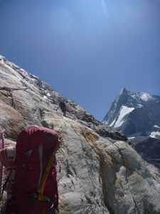
This path guided us to the lower part of the Stockji glacier where we had to don crampons for one last time to head up and across the glacier about 250 m to a point where we saw a German group were taking off their crampons. It was then a short scramble over the toe of the glacier to a large red mark painted on the rock face on the far (north) side.
There were some ropes to assist with the scramble up the cliff edge and on to to a normal path. Just around the corner and the hut came into view!
According to one of the guides around 5 years ago the glaciers were nearer the level of the hut and there wasn’t so much of a down and up as there is now.
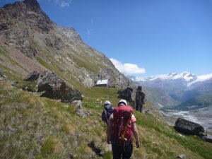
We arrived at around 1 pm where we quickly got out of our boots, got a beer and had a final Rosti for lunch. The weather was still great and we spend the afternoon chilling out in the sun, having a bit of a wash in the fountain and drying our kit with a clear view of the Matterhorn at all times. The guardian was very welcoming and dinner of creamy soup, sausage and mash followed by tinned fruit was great with another beer or 2. We had a top row of bunks for 5 betweeen the 3 of us for the night and even though it was the last night and we didn’t need an early start we still went to bed around 8 pm having now moved to Alpine time.

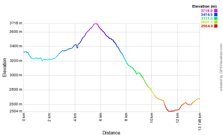
Here is the GPX of the route: GPX
The elevation profile was: